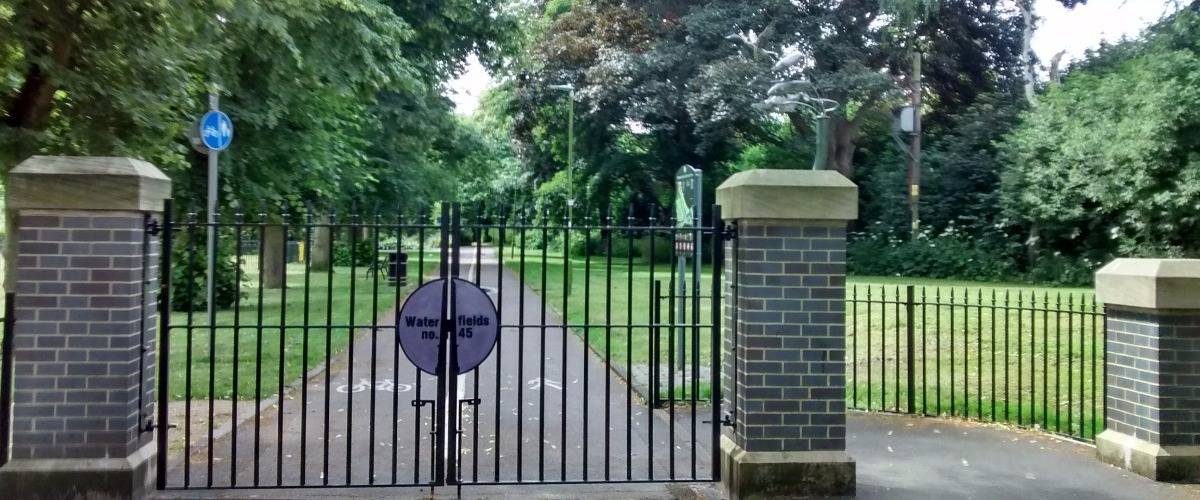
Waterfields Recreation Ground
Open all year
2.26ha close to Watford town centre. 5 points of interest
History of Waterfields
Site of historical interest
The land appropriated for Waterfields Recreation Ground is shown on the Watford Plan of 1842 as pasture and intersected by the River Colne. The bridge is shown in preparation for the North Western Railway on the north eastern boundary of the site.
By 1871 the railway is present and the bridge is present but so are outdoor swimming baths adjacent to it which were very popular. By the 1890s, terraced housing is in place along Shaftesbury Road. The recreation ground was eventually laid out by 1910 and was formed of two triangular shaped plots. Trees are shown planted around the boundaries of the sections of the park as well as an avenue that lines up with Shaftesbury Road. By the 1930s there are public toilets, a children�s playground and a drinking fountain.
One of the most interesting aspects of Waterfields Recreation Ground is the Coal Marker which is Grade II listed. It is one of almost 300 that was set up by the City of London to mark points on coal transport routes into London where tax was due. Initially the taxes were used to pay for rebuilding London after the Great Fire. The legislation was renewed in 1861 and the Marker in Waterfields dates from this time. The London Coat of Arms is marked on the south east face and it now forms an impressive feature in this lovely park.
Playground
Playground
Play area for children up to the age of 8 containing the following equipment
Table Tennis
Table Tennis
Bring your bat and ball and enjoy a free game on this concrete table
Park Information
This award winning park offers lots to see and do, including
- Playground
- 11 a side football pitch
- Table tennis
- Green open space
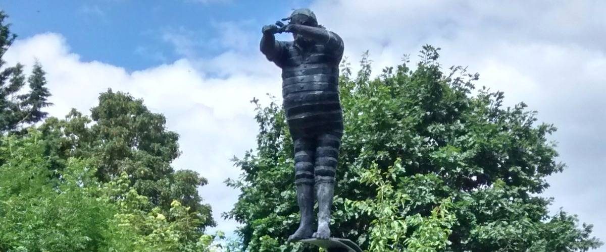
- Sculptures including The Diving Man
On Site Facilities
- Car Park (Free)

- Disabled Access

- Dogs Welcome

- Pushchair Friendly Paths

How to get here
Parking:There is a small car park off Shaftesbury Road, Watford, WD17 2RG. Directions here
Public Transport Information:Further information on public transport is available here: www.intalink.org.uk and www.nationalrail.co.uk
Cycling:Easily accessed from the town centre, a cycle lane runs through the park.


Share your experience
Tell your friends on social media about what you did at Waterfields Recreation Ground: